Start with a station, not a screenshot
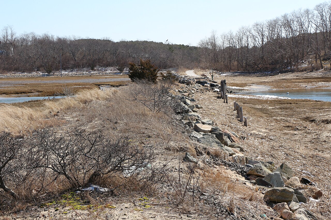
Use NOAA’s tide predictions for the date and shore you plan to visit. For a Provincetown reference, open station 8446121’s predictions; use NOAA’s station map when choosing another location.
- Select your visit date, not the date a search result or saved screenshot happens to show.
- Check the named station and whether times use local time or another time zone.
- Read the high and low times across your whole outing, including the return walk.
- Check weather and beach notices separately. Predicted water height is not a surf or swimming-safety forecast.
Which tide station should you use?
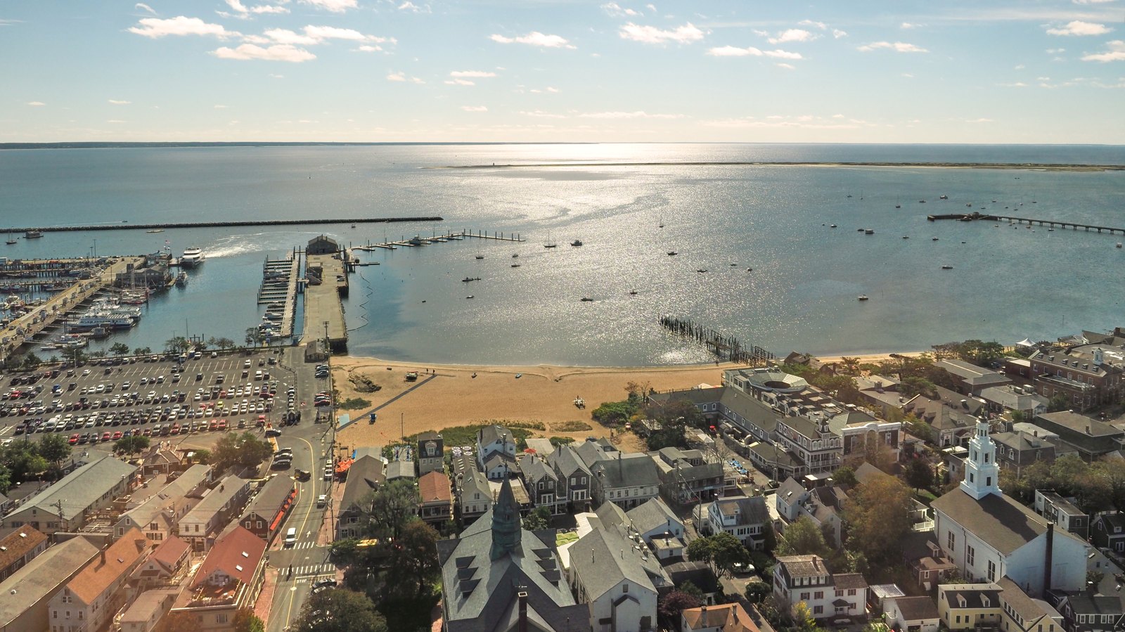
NOAA station 8446121 is Provincetown, a northern Cape Cod Bay reference, not a measurement at every Truro beach. Use NOAA’s station map to select a location appropriate to your shore; do not transfer its times to the Atlantic as an exact beach timetable. The bay and ocean beach guides help you identify which shore you are visiting.
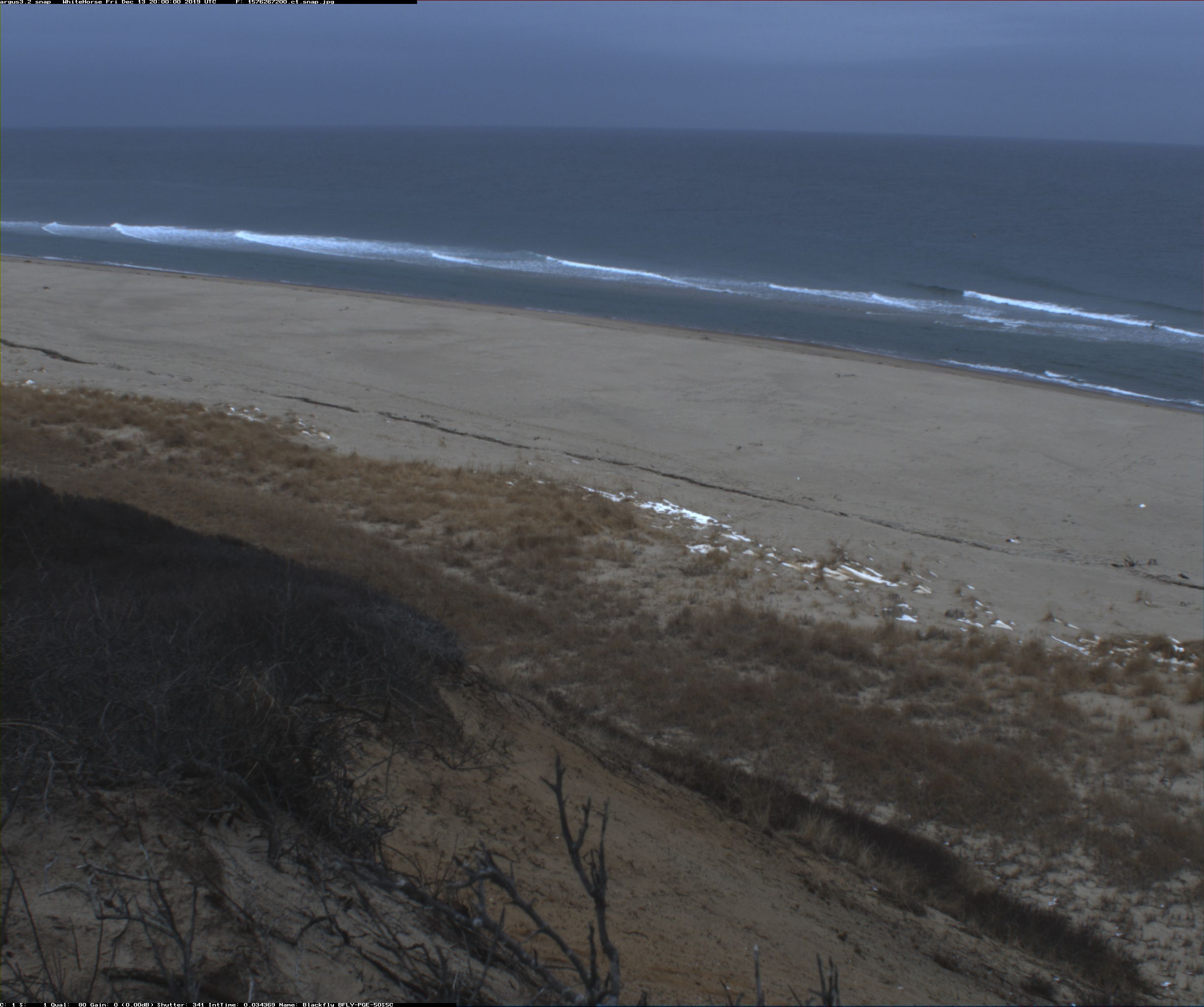
Check the whole outing, including the return walk. Predicted water height does not describe surf, currents, or swimming safety. Read National Seashore current conditions separately for ocean outings.
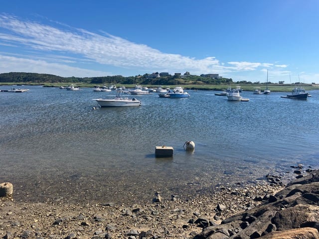
For a harbor outing
If you are planning to launch at Pamet Harbor, speak with the harbormaster about the trip and local requirements. A high- or low-water prediction is not a promise of a safe passage, nor does it tell you the current speed. Keep boating plans separate from choosing an hour to sit on the sand.